This 2.2 mile route starts and finishes at LAH town hall and is a mostly flat loop that goes through Eshter Clark Park/Preserve in Palo Alto that borders Los Altos Hills.
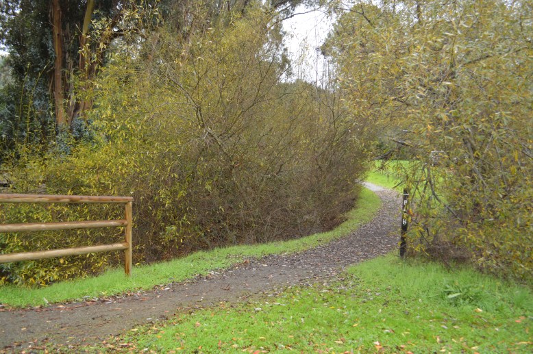
Much of this loop is on off-road pathways or through parks making it a perfect loop for those wishing to keep away from the streets and cars. Part of the route is on native, dirt trails and can be muddy after rains.
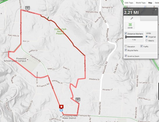
Esther Clark Preserve Loop (2.22mi):
http://www.mapmyhike.com/routes/view/1312247605
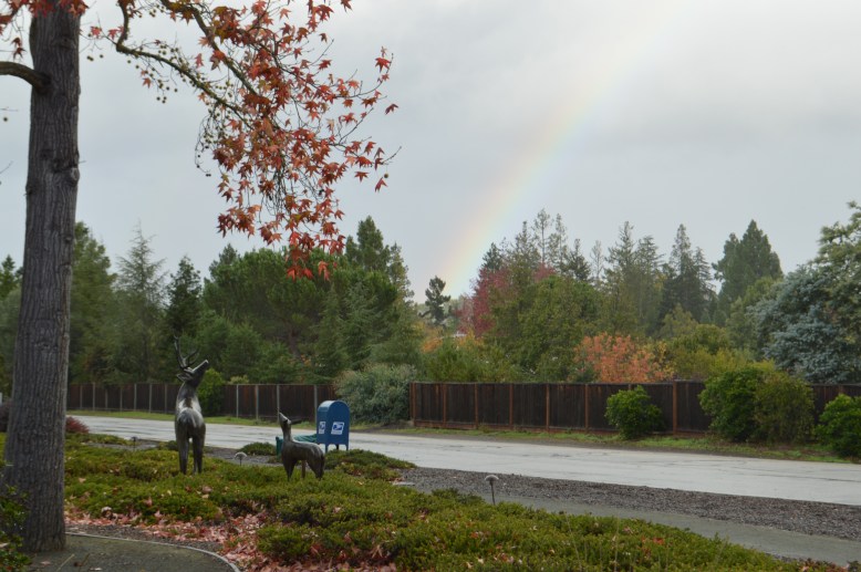
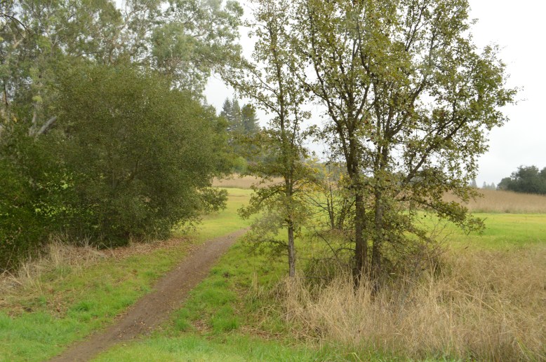
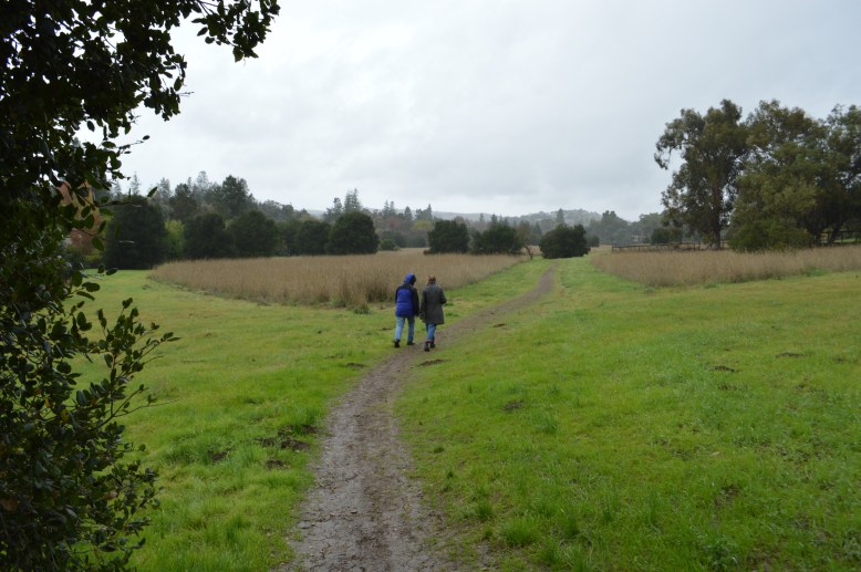
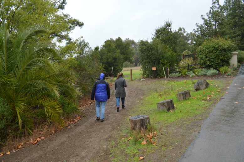
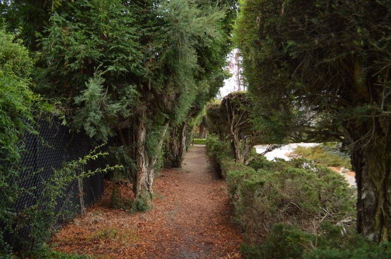
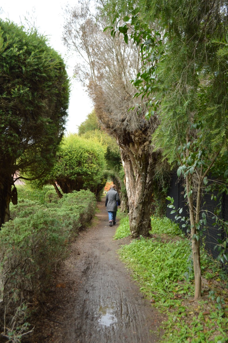
Here are some photos of the loop. (Note the photos are taken walking the opposite direction from the directions).
Start the loop at Town hall and head north toward Astradero for about 1/4 mile.
Turn left just past the bridge tunnel onto a long off-road section that parallels the creek.
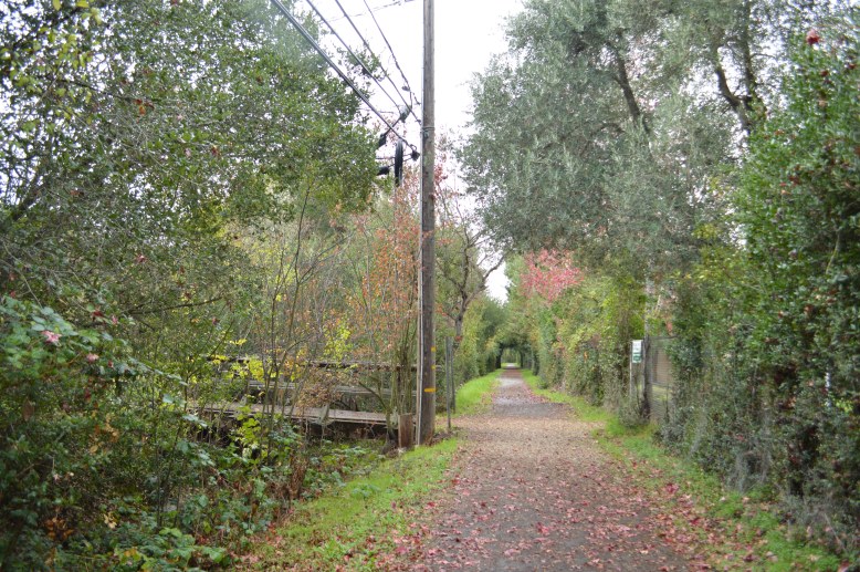
Continue on this off road path for about 1/2 mile.
Once you get to the end of the long section that parallels the creek turn right for about 50 yards and then take the short paved connector path over to Fremont Rd.
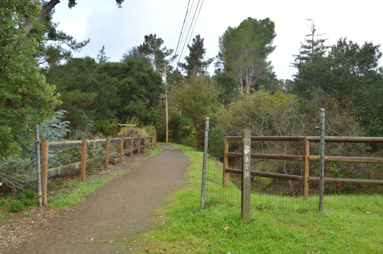
Once you are on Fremont Rd, head toward Astradero until you reach Old trace lane and take the pathways on Old Trace Lane
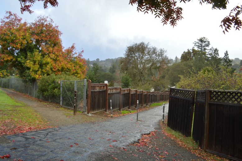
Take the path along Old Trace Lane until you get to the entry fence gate into Esther Clark Park. You wall through the park (about 1/2 mile).
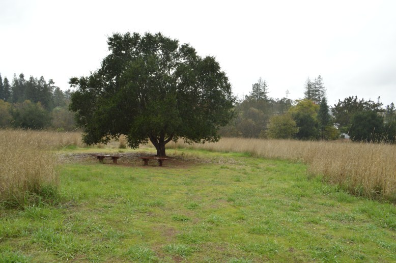
Inside the park are some benches to stop at.
The trail will pop out on Kinsley Ave in Los Altos Hills.
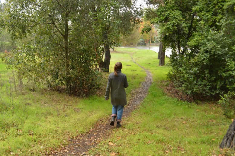
Just as Kinsley Ave ends at Altadena Drive, make a right down an off road pathway and then a left to go through another off-road pathways as you walk through some amazing lollypop trees!
At the end of this trail segment, turn right on Alexander Place for about 1 hour and then cross the street and get on to another off-road path that wanders along a drainage area.
This trail will come out on the corner of Catherine Court and Donelson Place. Take Donelson Place to Fremont Rd and make a right to return to Los Altos Hills Town Hall.
