
Click on the map below to bring up the on-line map
Click here to view and print a map
Description:
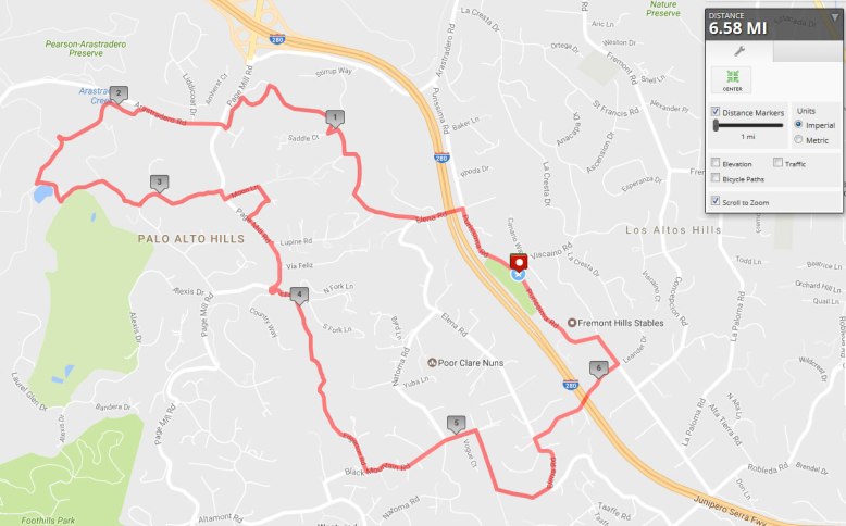
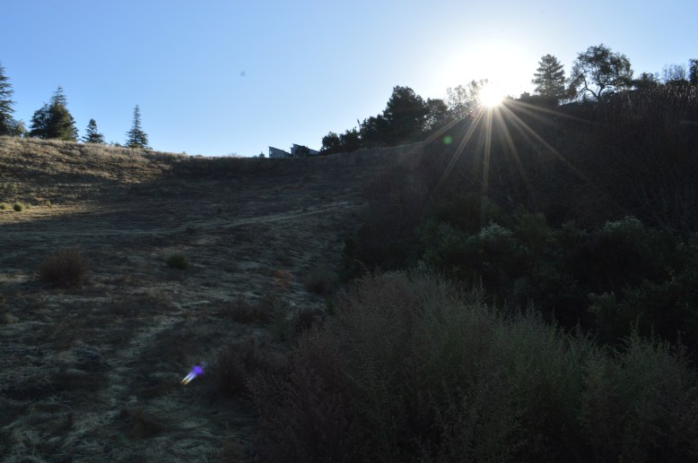
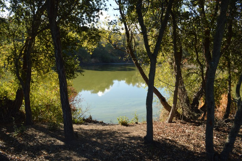
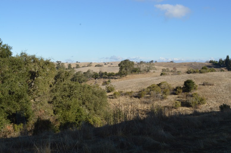
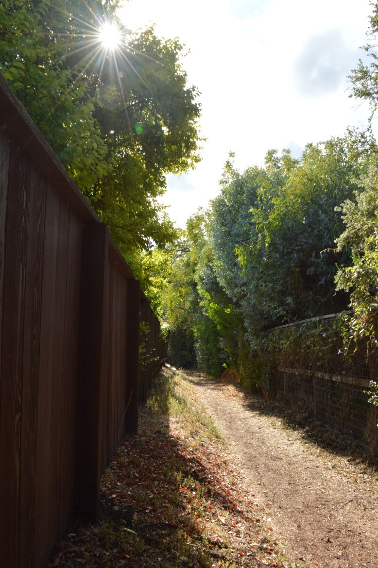
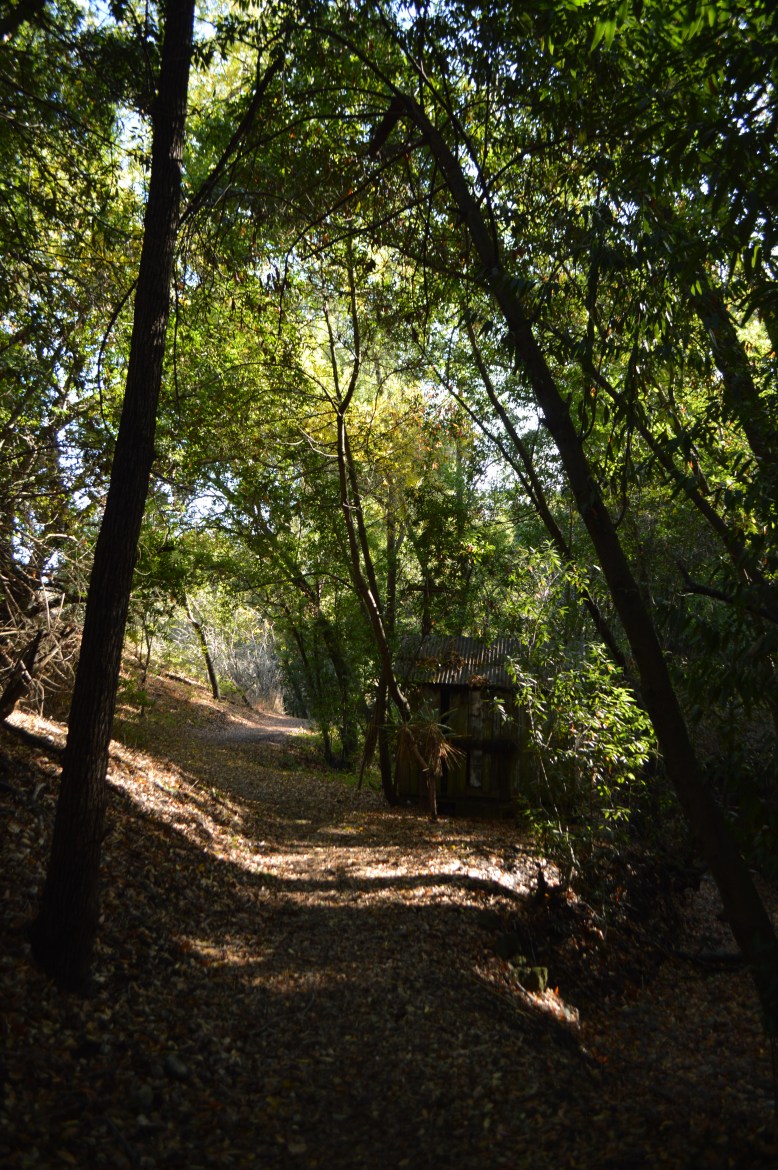
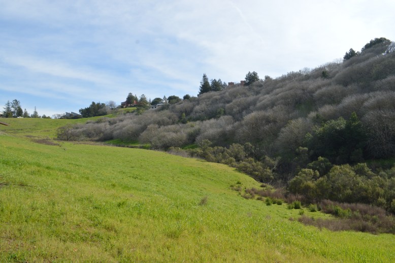
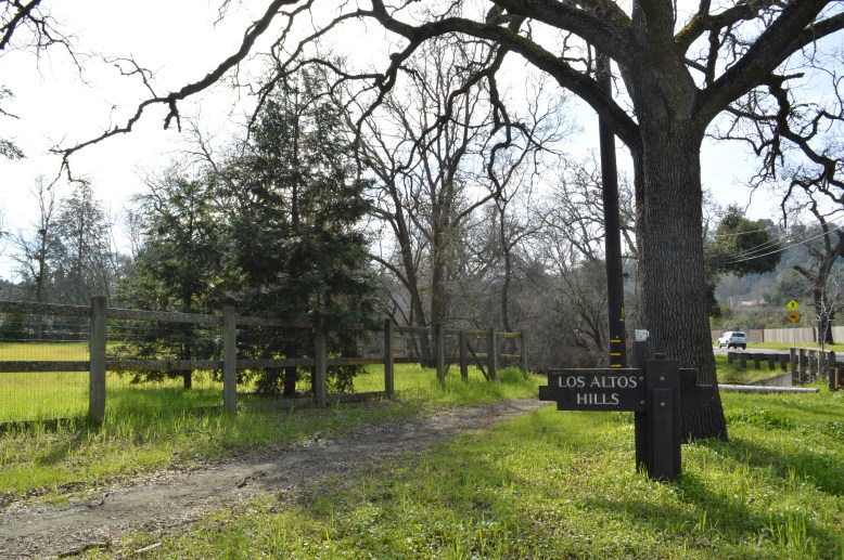
This route is a fairly hilly and rolling route in the Northern section of Los Altos Hills and connects to the Palo Alto Arastradero Preserve. This loop starts at Purissima Park in Los Altos Hills where there is parking and restrooms and water.
This is a 6.59 mi route in Los Altos Hills, CA, United States. The route has a total ascent of 698.25 ft and has a maximum elevation of 657.78 ft.
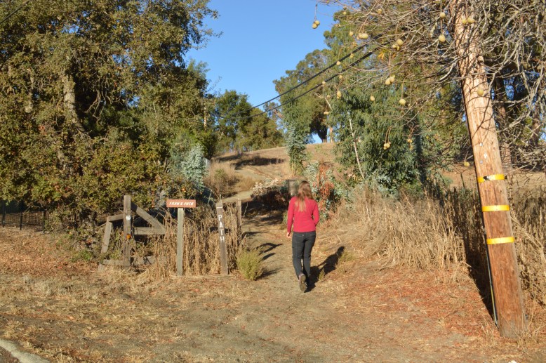
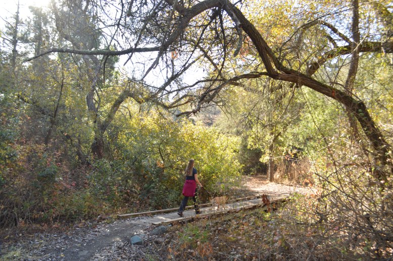
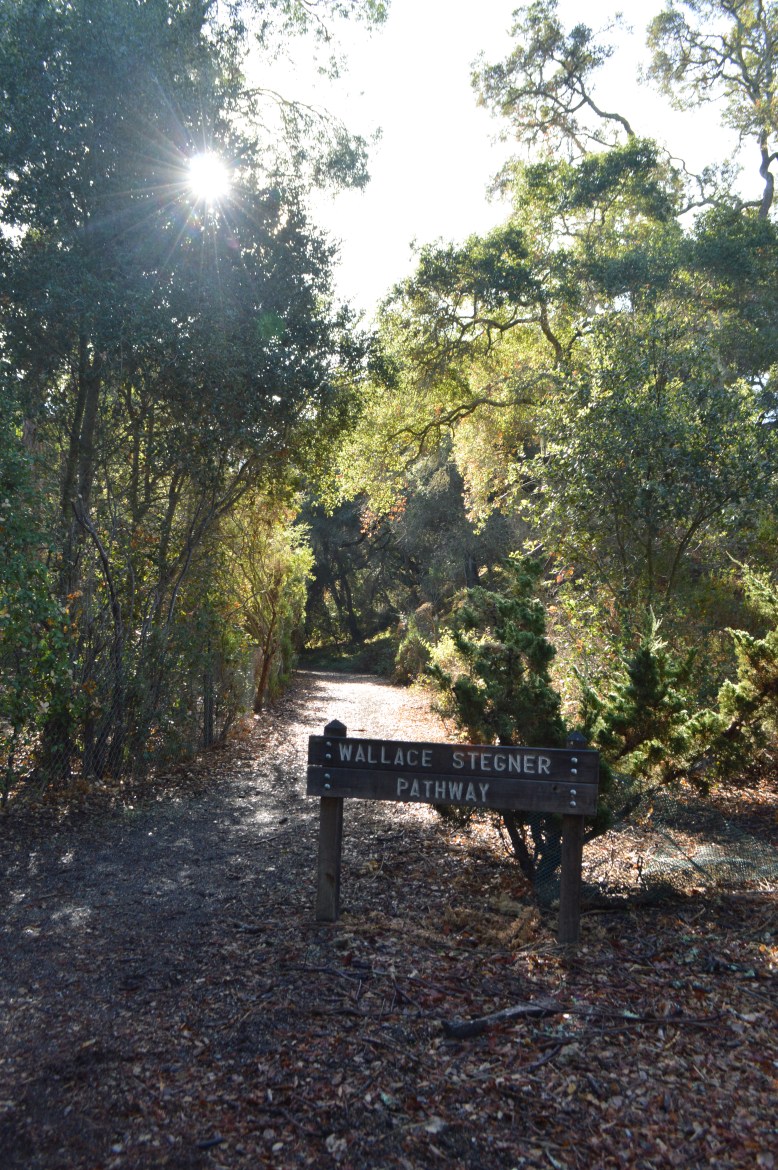
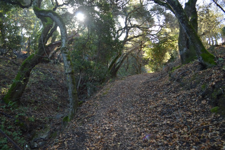
Much of this trail is on the LAH “off road” paths which is simply a cleared area on the dirt. It may be difficult to find the trails during the winter and spring when it might be muddy or over grown a bit. We recommend you carry an official LAH Town Pathways walking map so correctly find all of the connections. Please contact LAH Parks/Rec if you have trouble finding a trail segment so it can be cleared by town hall.


Online Map at: http://www.mapmywalk.com/routes/fullscreen/1387675618/
